From City to Region: How Infrastructure-Led Growth Is Reshaping Lucknow’s Development Landscape

By Preksha Singh, CEO, Agrasheel Infratech Pvt Ltd
Cities rarely remain confined to the boundaries within which they first develop. As population, businesses and investment rise, demand for space moves outward over time, extending the urban footprint into neighbouring areas. What begins at the edge of an established centre can gradually develop into a wider network of residential neighbourhoods, employment hubs and commercial activity. The shift is becoming increasingly visible as Lucknow’s urban footprint expands outward.
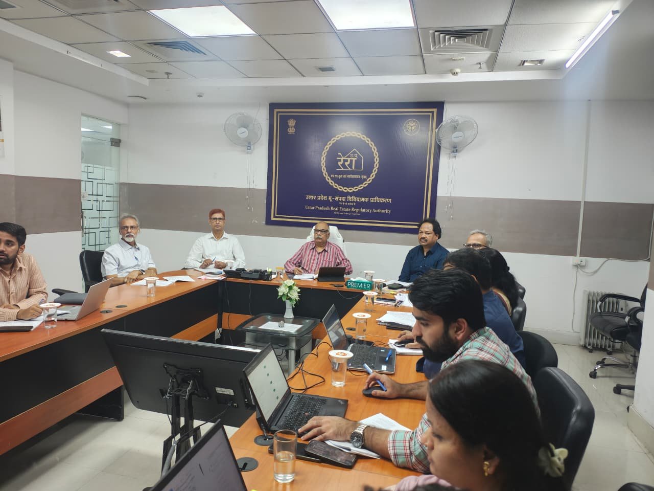
Meanwhile, the recent approval of the base map for the UPSCR shows how spatial planning is beginning to adopt a more expansive view. The proposed region brings six districts within a common planning framework covering Lucknow, Barabanki, Unnao, Sitapur, Hardoi and Rae Bareli. The base map is expected to guide the preparation of a Regional Master Plan providing a coordinated approach to infrastructure and spatial development across these districts.
As urban expansion extends across a geography, accessibility becomes the thread linking different growth centres. Alongside this, strong road and rail links can further support logistics and industrial activity, gradually influencing where people live, where businesses operate and how different parts of the region interact. Additionally, Improved access can bring jobs and investment as businesses move into these emerging locations. New workplaces create demand for homes, shops, schools, healthcare and other everyday services. Over time, these places can begin to develop their own identity, bringing together the people, businesses and amenities that give a growing neighbourhood its character.
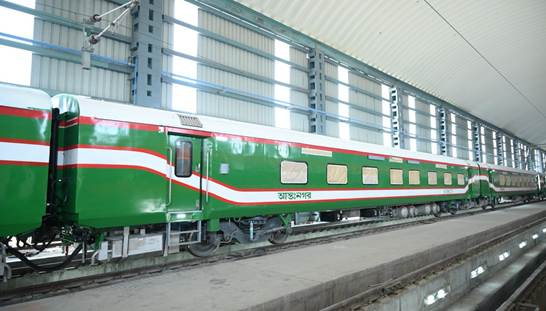
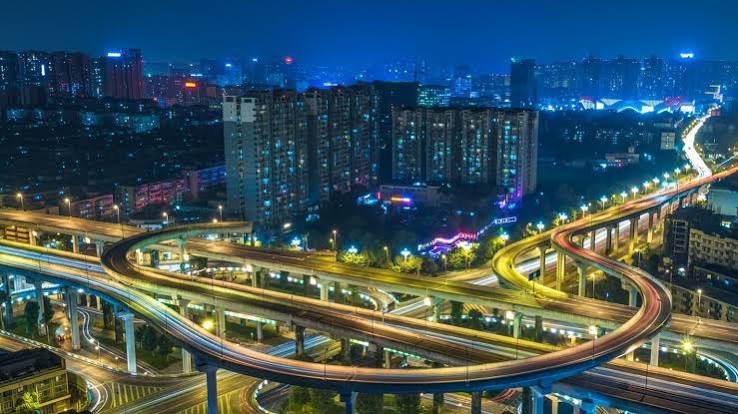
That interplay is already visible in the infrastructure being considered under the UPSCR framework. Regional roads, an elevated peripheral road, an orbital rail corridor and metro-related infrastructure feature alongside logistics parks, food parks and industrial development. Corridor-oriented development along the Lucknow-Kanpur Expressway also forms part of the wider planning vision. Together, these linkages can strengthen movement between residential areas, economic hubs and production and distribution centres.
Over time, such linkages can gradually form growth corridors where mobility and enterprise reinforce one another. The wider Lucknow-Unnao-Kanpur belt offers an example, with Uttar Pradesh’s investment framework identifying it as an important logistics and investment region supported by road and rail connectivity. As these corridors mature, their influence can extend across industrial, commercial and residential activity, creating stronger relationships between different parts of the regional economy.
This changing geography is also broadening the understanding of location in real estate. Established commercial centres remain important, while access to employment hubs, transport networks, logistics facilities and emerging enterprise adds another dimension to long-term development potential. A location is increasingly understood through its connections: how easily people can reach workplaces, how efficiently businesses can access markets and how naturally new neighbourhoods can integrate with surrounding activity.
With these relationships becoming more important, the quality of the urban ecosystem assumes greater significance. In practice, planned urban communities can bring housing, commerce, infrastructure and ecological considerations into a cohesive framework. At the same time, structured land use, integrated civic infrastructure and meaningful participation from local communities can help new neighbourhoods take shape around the needs of the people who live and work in them.
Understanding a site’s future increasingly means looking beyond its immediate surroundings. Planned transport links, employment patterns, mobility networks, social amenities and commercial momentum can collectively influence how a place emerges over time. This wider lens places greater emphasis on creating well-connected communities that complement the changing pattern of urbanisation.
Much of that future will take shape through the next stage of the planning process. The Regional Master Plan will provide greater direction on land use, infrastructure priorities and the distribution of future development across the six districts. Its significance will ultimately lie in how effectively these elements are coordinated and translated into functioning communities and economic centres.
Ultimately, the move from city-led expansion to region-led growth represents more than a change in planning boundaries. It indicates a shift in how urbanisation itself is taking shape. Roads connect communities, accessibility enables enterprise and economic momentum creates new centres of demand. When these forces come together within a thoughtful planning framework they can support a more connected, balanced and sustainable regional environment, one where individual developments grow as part of a larger ecosystem.
Disclaimer: Views expressed in this article are those of the author, and not necessarily of Realtynmore.com.